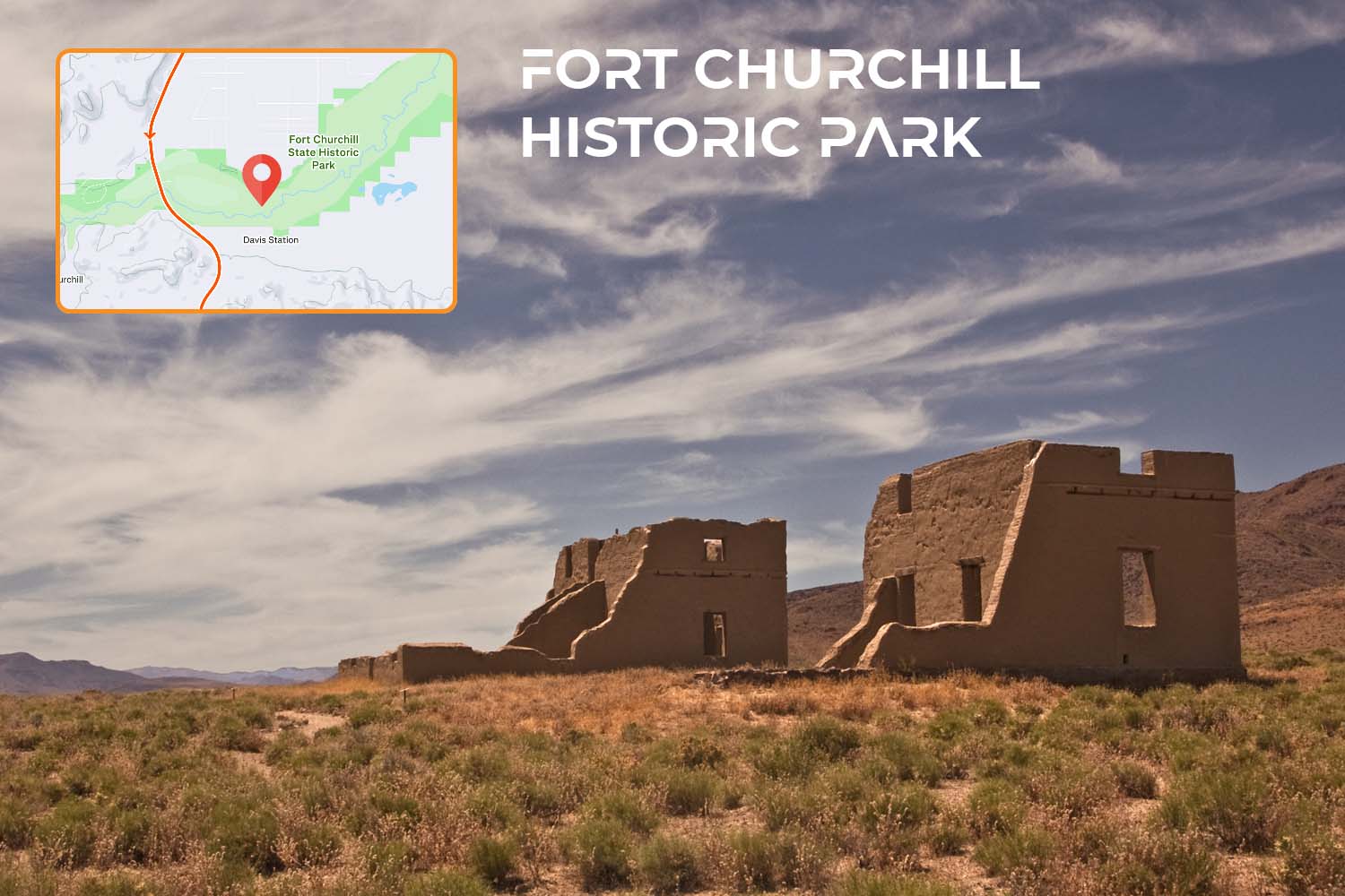
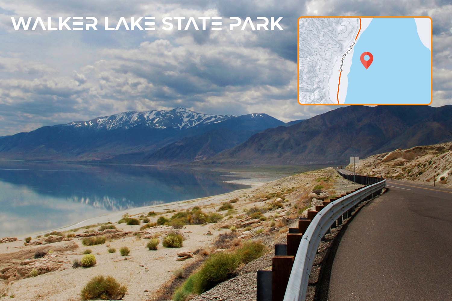
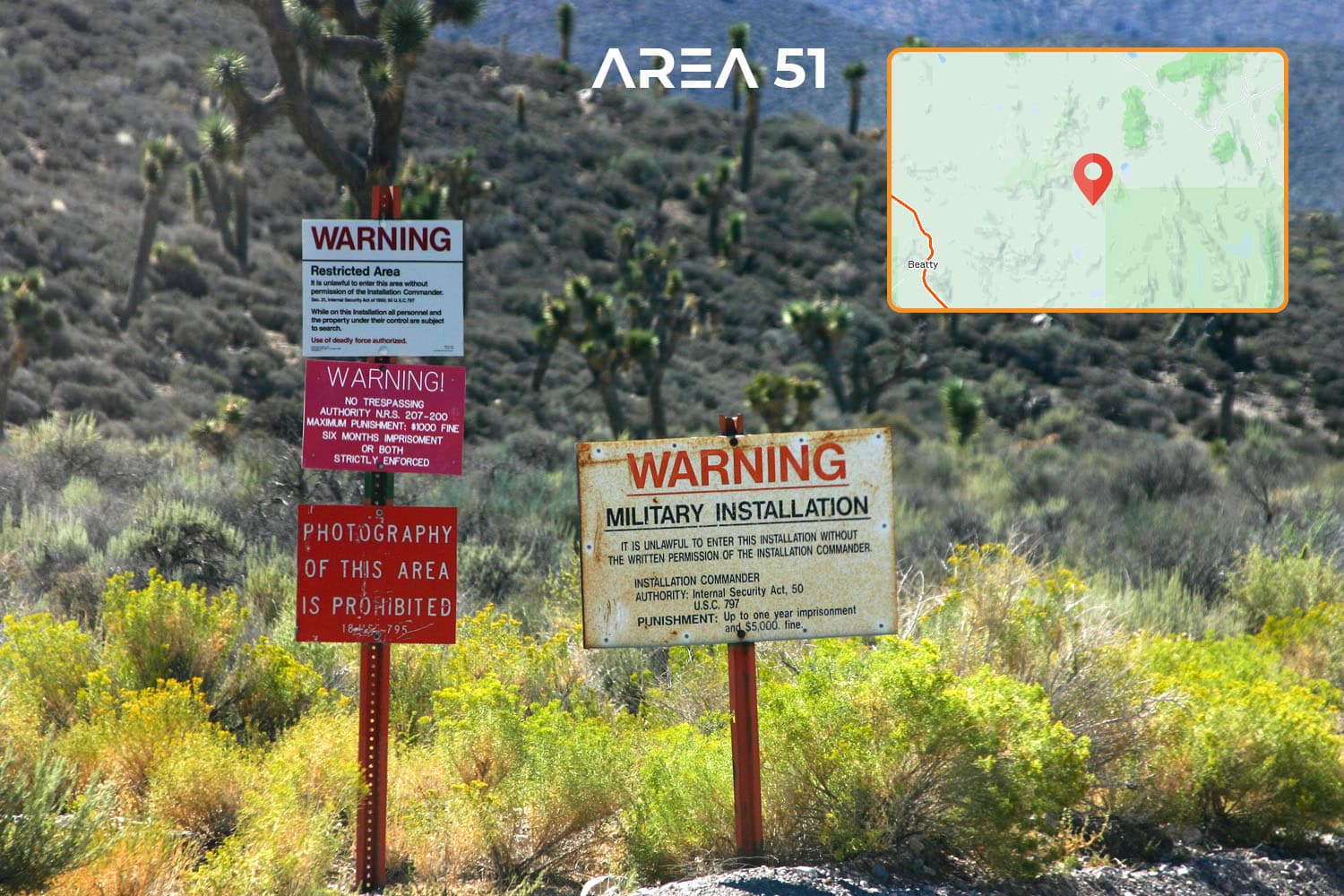
The Vegas In 24 Ultra Cycling Challenge consists of 4 grueling routes ranging from 345 miles to 448 miles, with elevation gain ranging from 10K to 19.4K feet. There are plenty of pros and cons to each route that may suit one rider better than the other. A summary and specific route details are provided below. Each route requires a unique approach for planning, equipment, nutrition and training. Do you have what it takes? Which Vegas In 24 route are you going to conquer? Sign up and take the challenge!
PHOENIX
LOS ANGELES
SAN DIEGO
RENO
Notes
While additions or removal of traffic lights, stop signs, cattle guards, etc are unlikely, they are possible and each rider is highly encouraged to get the very latest updates on any changes to his or her chosen route. The information above is updated by Ho’Omau Endurance periodically but may not reflect any recent changes. Last Updated: November 2025
It is safe to assume that every rider will start any of the 4 routes with plenty of liquids and nutrition. We also assume that once in Las Vegas, a rider will “wing it” to the finish even if running low on nutrition in order to meet the time cut off. As such, we find rest stop opportunities in the departure city, anywhere within the first 70 miles of the departure city, and Las Vegas irrelevant. Any rest stop opportunities noted here occurs after mile 70 and prior to entering the Las Vegas metropolitan area.
The Big Takeaways
- The shortest Vegas In 24 route with the lowest overall elevation gain – the best “entry level” route on the event circuit.
- Hardly any meaningful gradient over the first 250 miles, paving the way for fast average speed right from the start.
- A lot more rest stops options than the Los Angeles route, providing more fueling and timing flexibility.
- The last 1/3 of the route, mile 245 to 315, features the majority of the elevation gain. Legs will be tested there for sure.
- Riding a TT bike could make a lot of sense on this route if aero position can be maintained for most of the ride.
- Once outside of Phoenix (around mile 20), the roads often narrow to single lane, predominantly without a shoulder.
- Significantly less traffic lights and stop signs than the Los Angeles and San Diego routes, but more than Reno route.
- 46% of all traffic lights occur in Las Vegas over the last 17 miles. This part could take upwards of 70-90 minutes.
For detailed information, make sure to watch the videos in the Planning section.
Along the Route
Despite the nonstop lights and noise of the first 80 miles, this route is still quite spectacular and full of changing scenery. Could there be any bigger contrast than going from 5 hours of urban environment to the absolute nothingness of the desert? Not quite – and this route delivers it.
The Big Takeaways
- The 2nd most mountainous route with 14.8K feet of elevation gain – just about half of Mt. Everest.
- The most traffic lights of any route by a far stretch. 4x more lights than the Phoenix and Reno routes.
- 75% of the traffic lights occur within the first 80 miles of the route, negatively affecting average speed in the first hours.
- Getting out of the greater Los Angeles metropolitan area takes time and patience. Even at night there is traffic.
- With 11 overall rail crossings, there is always a chance one might get stuck waiting for a 1-mile long train to pass.
- 41 waypoints need to be remembered to complete the entire route – only the San Diego course has more.
- On 2 occasions, the rider has to use a short section (about 5 miles) of the I-10 Freeway to bypass an Indian reservation.
- Downhill speeds into the windy Palm Springs basin can exceed 60 mph. Good bike handling skills are essential here.
- While not exceedingly long, the steady uphill to Searchlight can take longer than expected and require additional fuel.
For detailed information, make sure to watch Andy’s original videos from the 2016 Vegas In 24 event, as they were taken on the same route. Also, plenty more advice can be obtained in the Planning section.
Along the Route
Both natural and man-made landmarks on the San Diego route are plentiful, providing for a constant change of scenery and diverse riding experience.
The Big Takeaways
- The toughest of all 4 routes as far as climbing is concerned, about 4.7K feet more than Los Angeles.
- The 2nd longest route on the event circuit, making pacing and rest stop strategy essential.
- Mirrors the Los Angeles route exactly after reaching the Palm Springs basin at 29 Palms Hwy.
- Involves some fast and technical descending starting around mile 122 into the Coachella Valley.
- A total of 49 traffic turns need to be remembered by the rider, more than any other route.
- The most scenic route of them all, featuring ocean vistas, beaches, mountains, rivers, forests, parks and desert.
- Dedicated bike paths are used twice on this route, eliminating unnecessary traffic stops in those areas.
- Part of the route takes place on the same roads as Ironman 70.3 Oceanside and Race Across America.
- More notable nature and building landmarks than on any other route on the Vegas In 24 event circuit.
For detailed information, make sure to watch the videos in the Planning section.
The Big Takeaways
- The longest Vegas In 24 route – by far – making pacing and rest stop strategy absolutely critical.
- An average speed of 18.7 mph is required to make the 24-hour time cutoff not factoring in any rest stops.
- Despite the elevation gain, the entire route does appear mostly flat, gradients almost never exceed 2%.
- While featuring 11.7K feet of climbing, it is the only of the 4 routes with a net negative overall elevation gain.
- Holding an aerodynamic position for the vast majority of the route will be essential but extremely difficult.
- There is some altitude. 310 miles of the route occur above 4,000 feet. All climbs top out at under 6K feet.
- This is thee most deserted ride of all 4 routes with hardly any civilization between Reno and Las Vegas.
- Due to low nightly temperatures, only a short window of time makes sense to conquer this route each year.
- Only 28 traffic turns for the rider to memorize. Only the Phoenix route has less.
- With 10 rail crossings on the route, the chances for a rail stop are high and on par with the Los Angeles route.
- Only route that approaches Las Vegas from the north, creating potential opportunities for favorable wind patterns.
- Chances of “zoning out” are high on this route as there is hardly any scenic variance to keep the brain engaged.
For detailed information, make sure to watch the videos in the Planning section.


